nz travel • the rainbow road
lately, i've been scanning old film negatives. every roll has been a nostalgic journey for me and a huge amount of fun. these findings are like treasure, unearthed after many years, still as precious to me as ever.
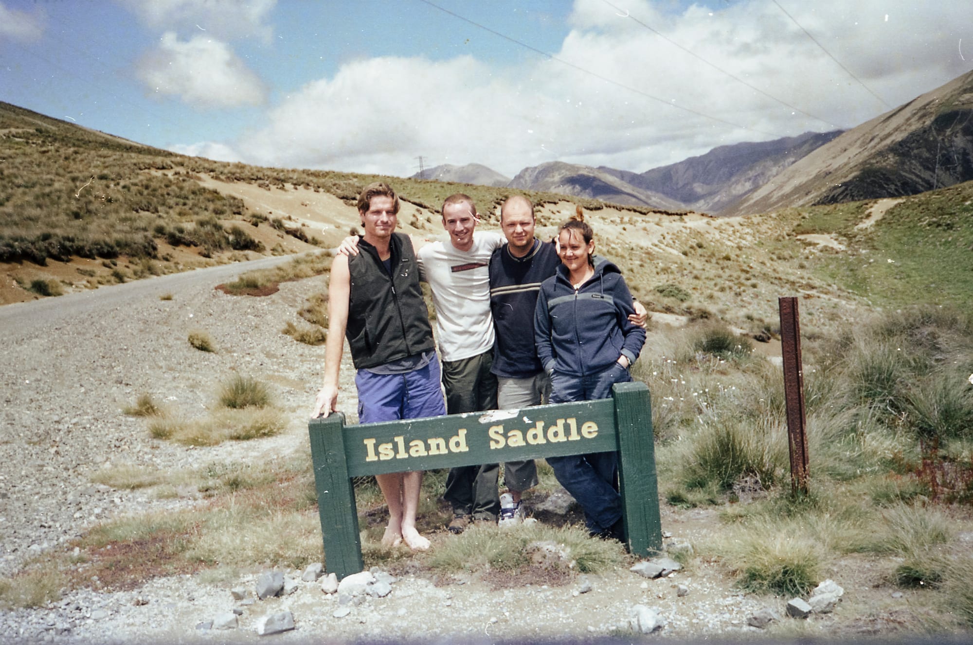
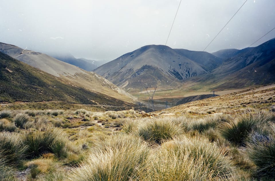
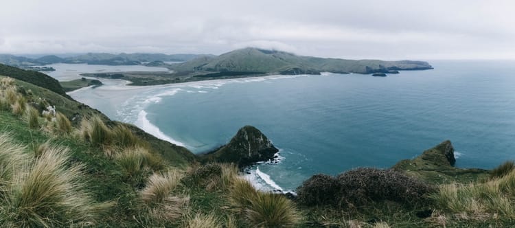
decades ago, we adventured with friends through a part of new zealand that a lot of people don't see—the rainbow road. described as a ‘wilderness driving’ experience, accessible only by 4WD vehicles, this 112 km road stretches from st arnaud in the nelson lakes national park area down to hanmer springs in the canterbury region. the road goes through the private land of a back-country sheep station, and can only be traversed at certain times of the year.
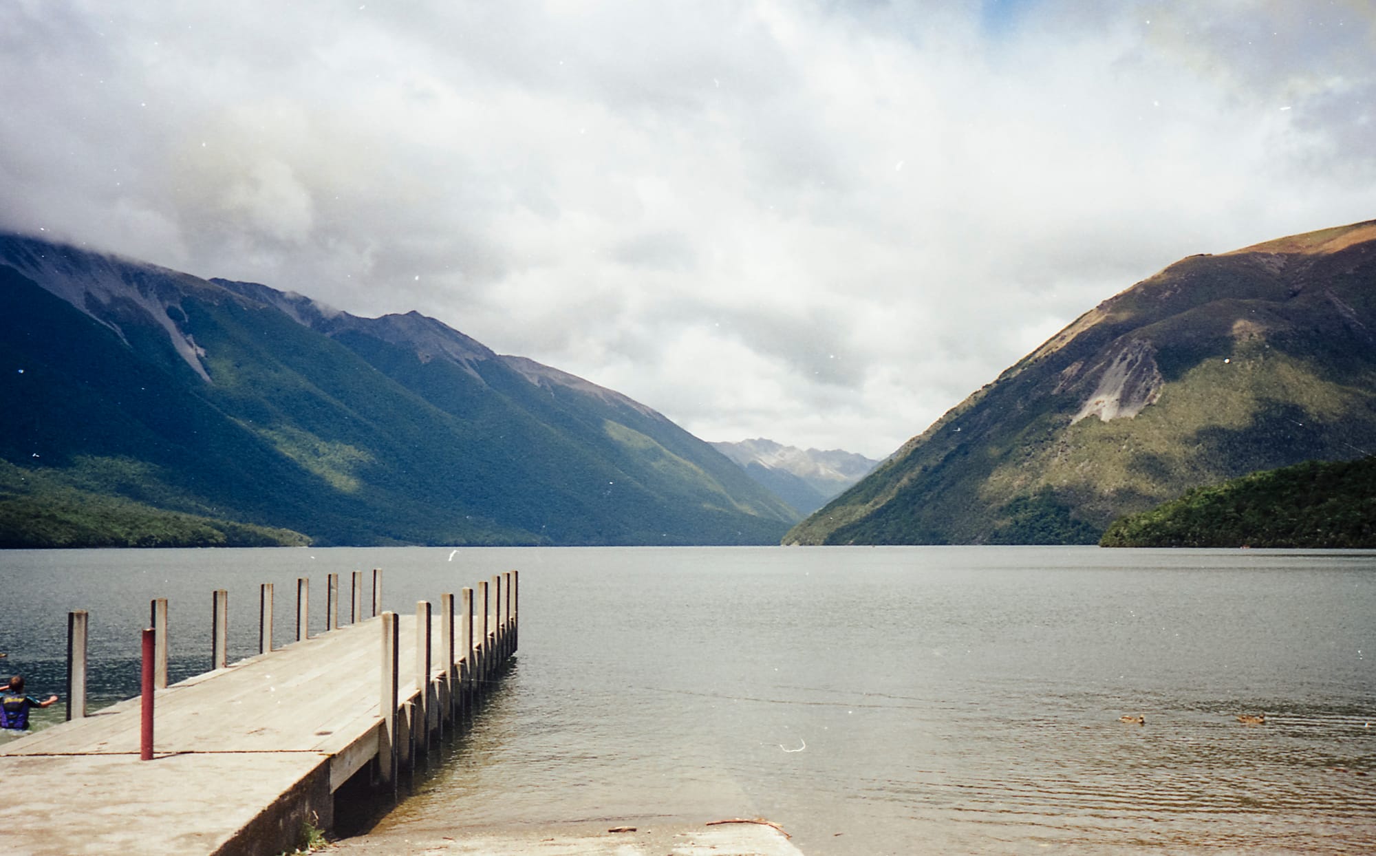
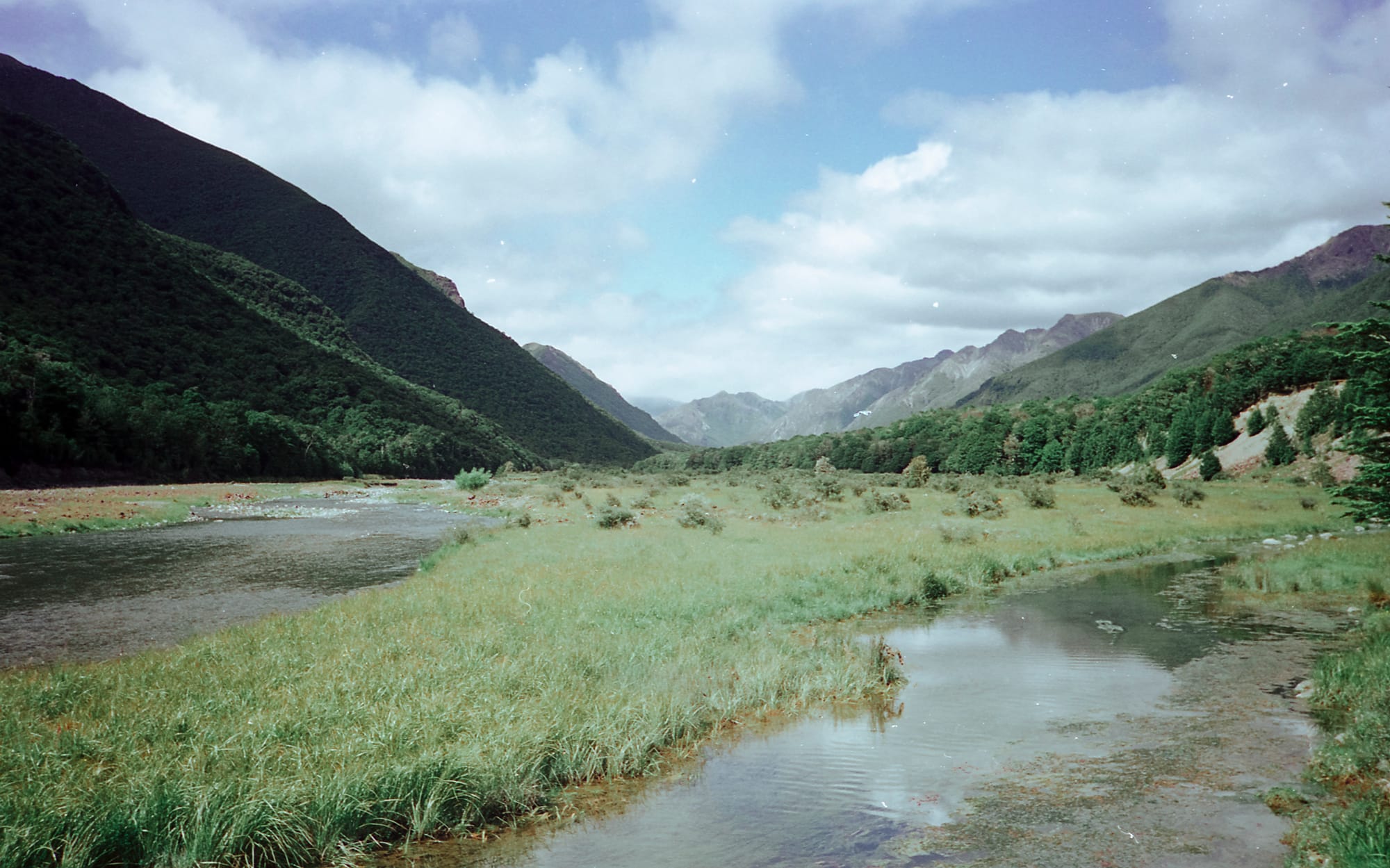
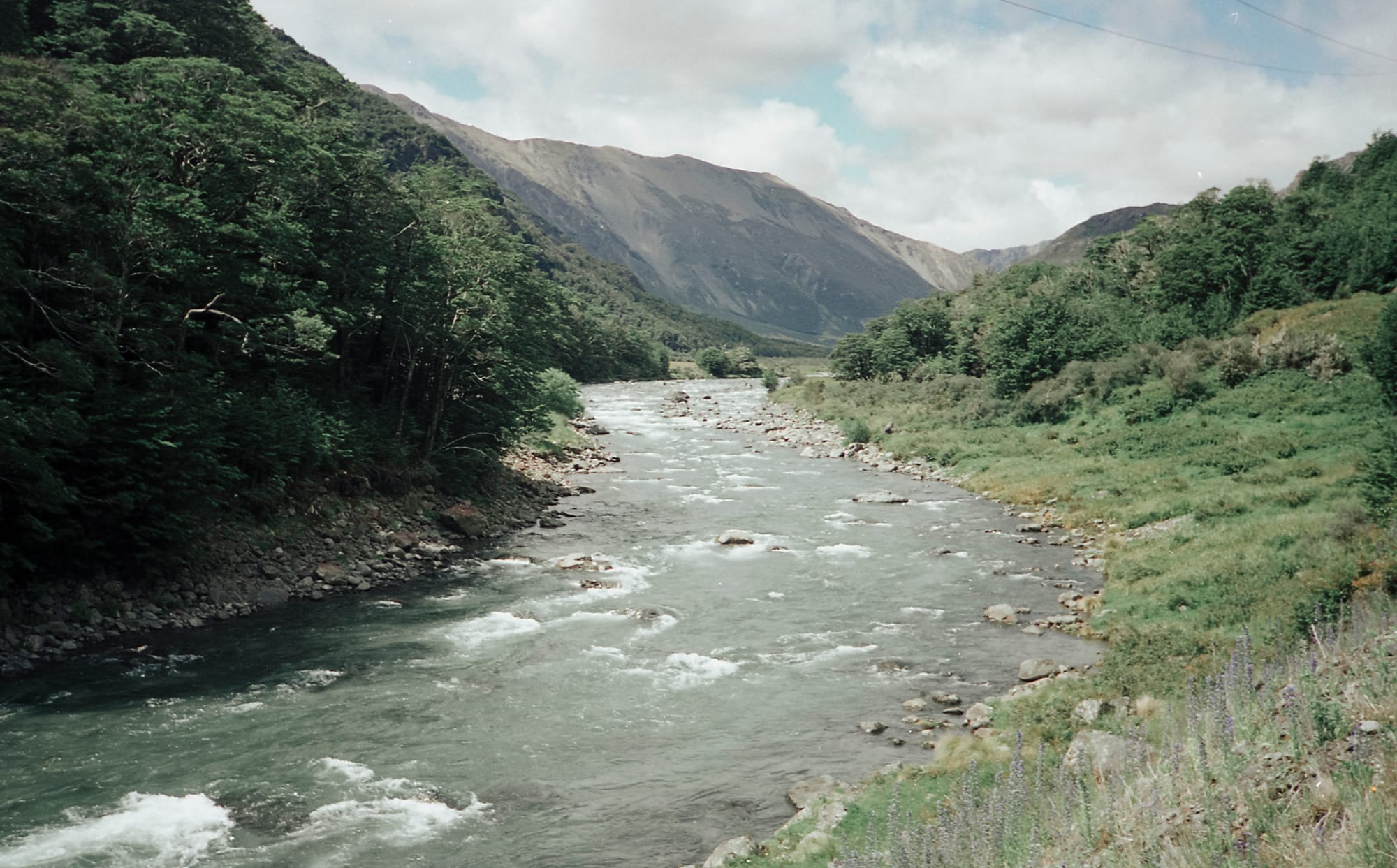
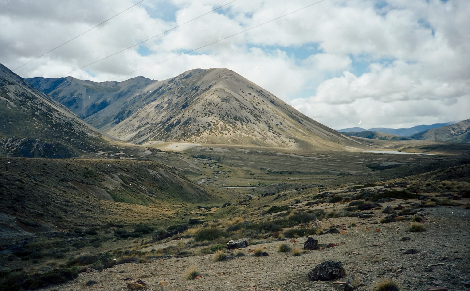
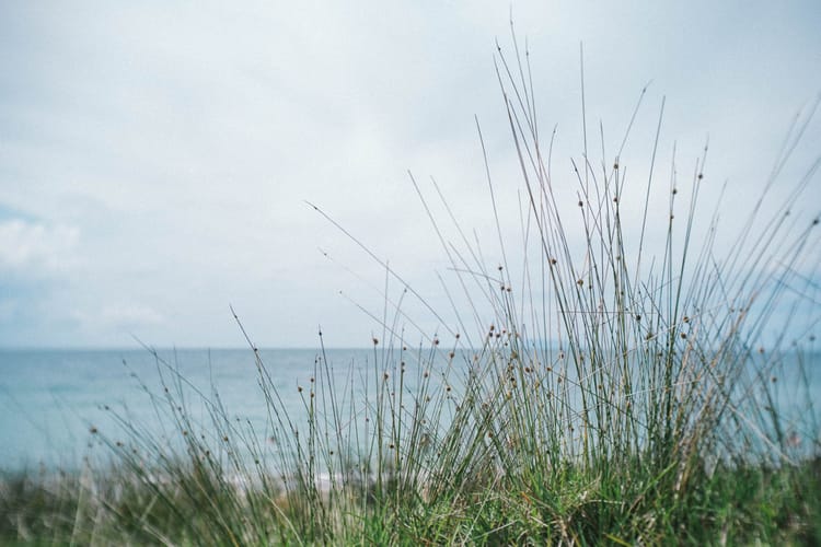
stunning views of mountains, rivers and lakes along the way
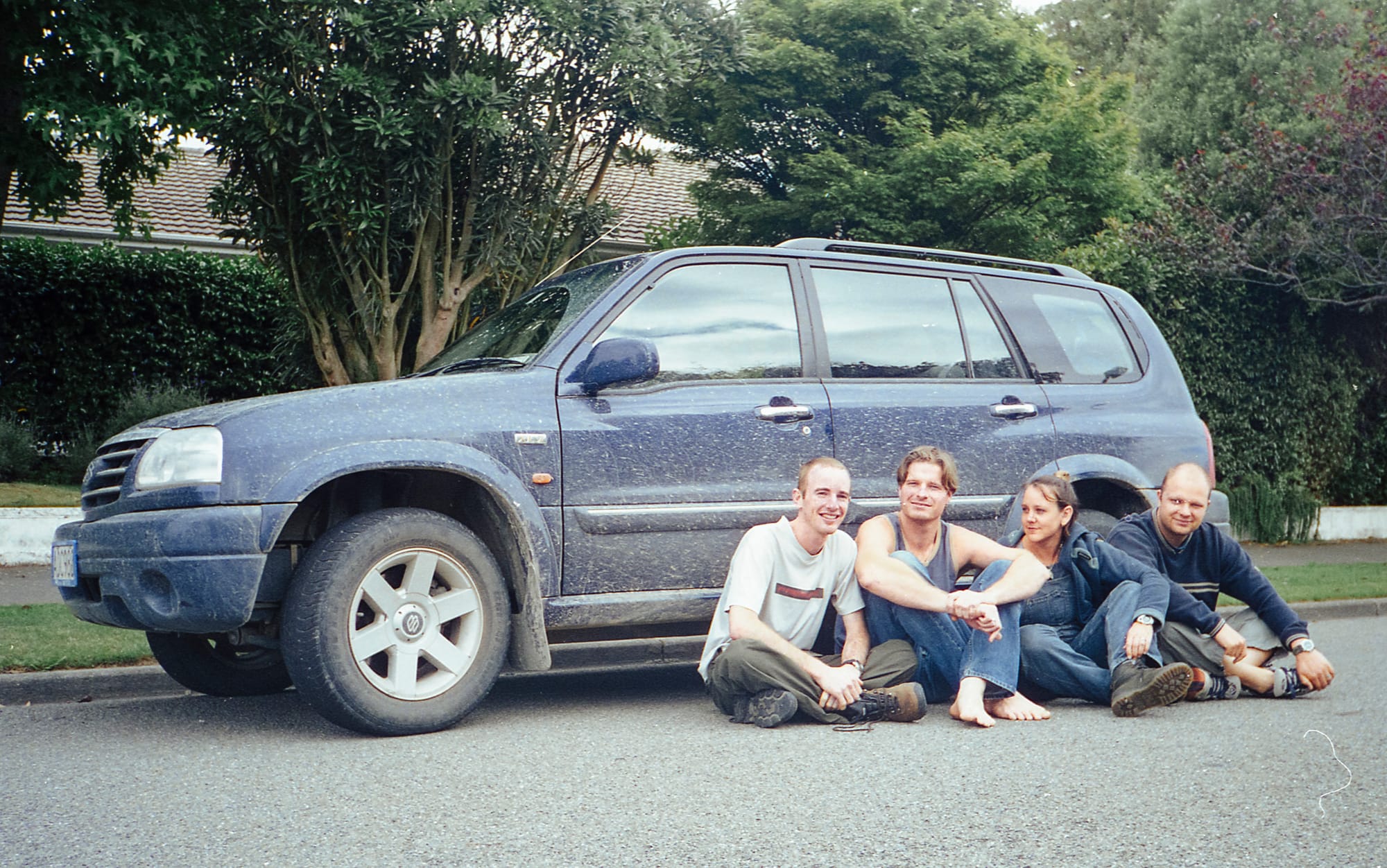
you can drive the road in either direction. we did it from north to south. starting our day in st. arnaud by lake rotoiti and ending at my brother's place in christchurch.
etched firmly in my memory, even without the photos to remind me of that day, this road is one i'd love to travel again. next time though, i'd like to linger a lot longer—with at least a 1-2 night stay in the camp sites along the way.
Member discussion