nz travel • head for the hills
with one of our favourite hotels in all of new zealand (sherwood) offering a winter deal we couldn't refuse, we headed to queenstown for a short break last weekend.
there's so much to do down there that the hardest decision is narrowing it down to something that we haven't done before. each visit deepening our love for the surrounding region.
this time, i was determined we were going to go for a short walk. but which one? should we do bob's cove? or the mount crighton loop? or the track to wye creek lookout? or head for the hills behind arrowtown?
with nic still getting over a recent illness, i wasn't sure we'd manage any. but, after a hearty breakfast, out we went, deciding to walk the arrowtown river trail as it looked innocuous enough.
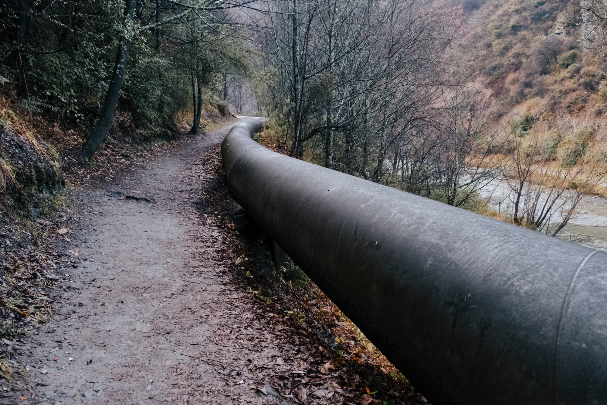
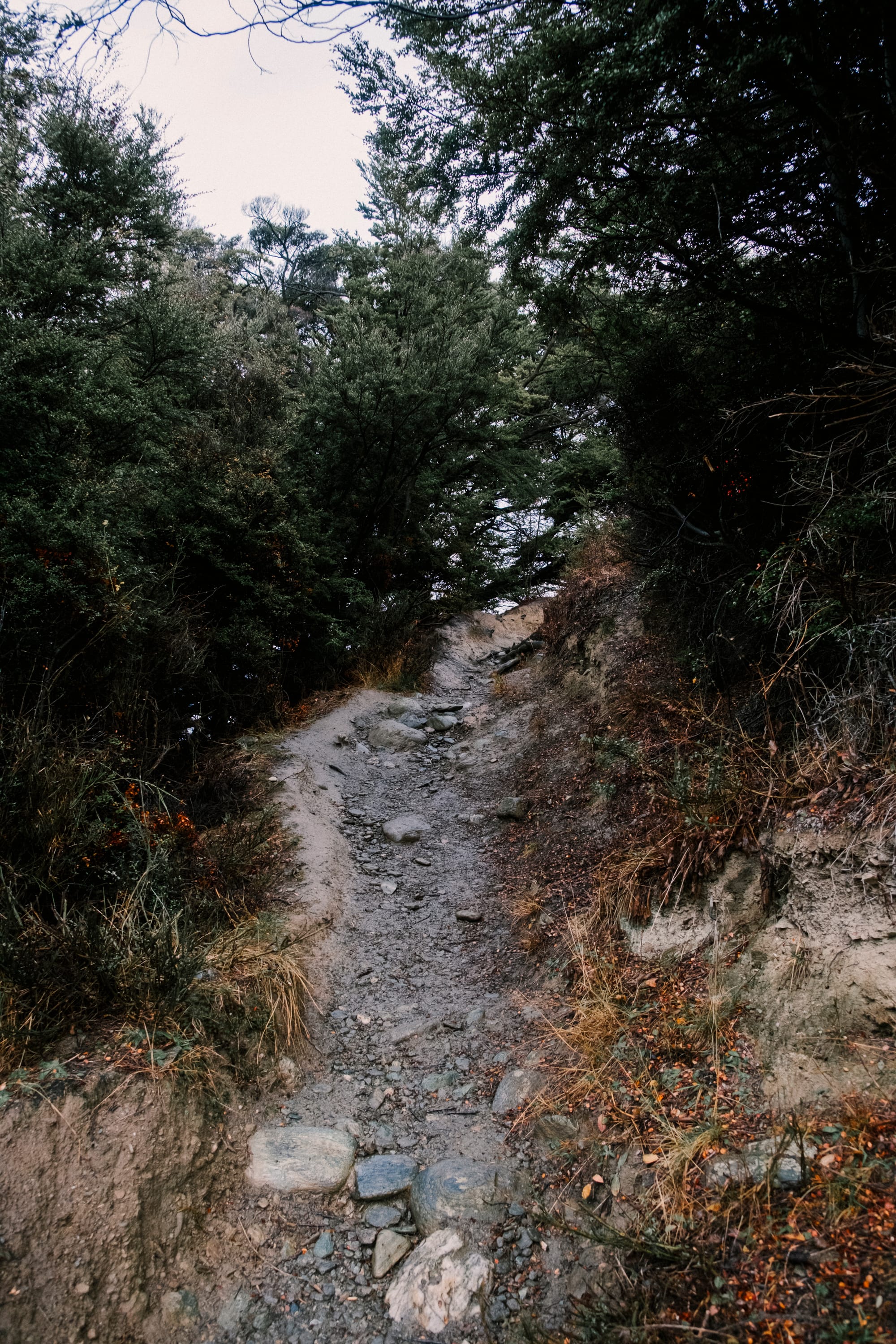
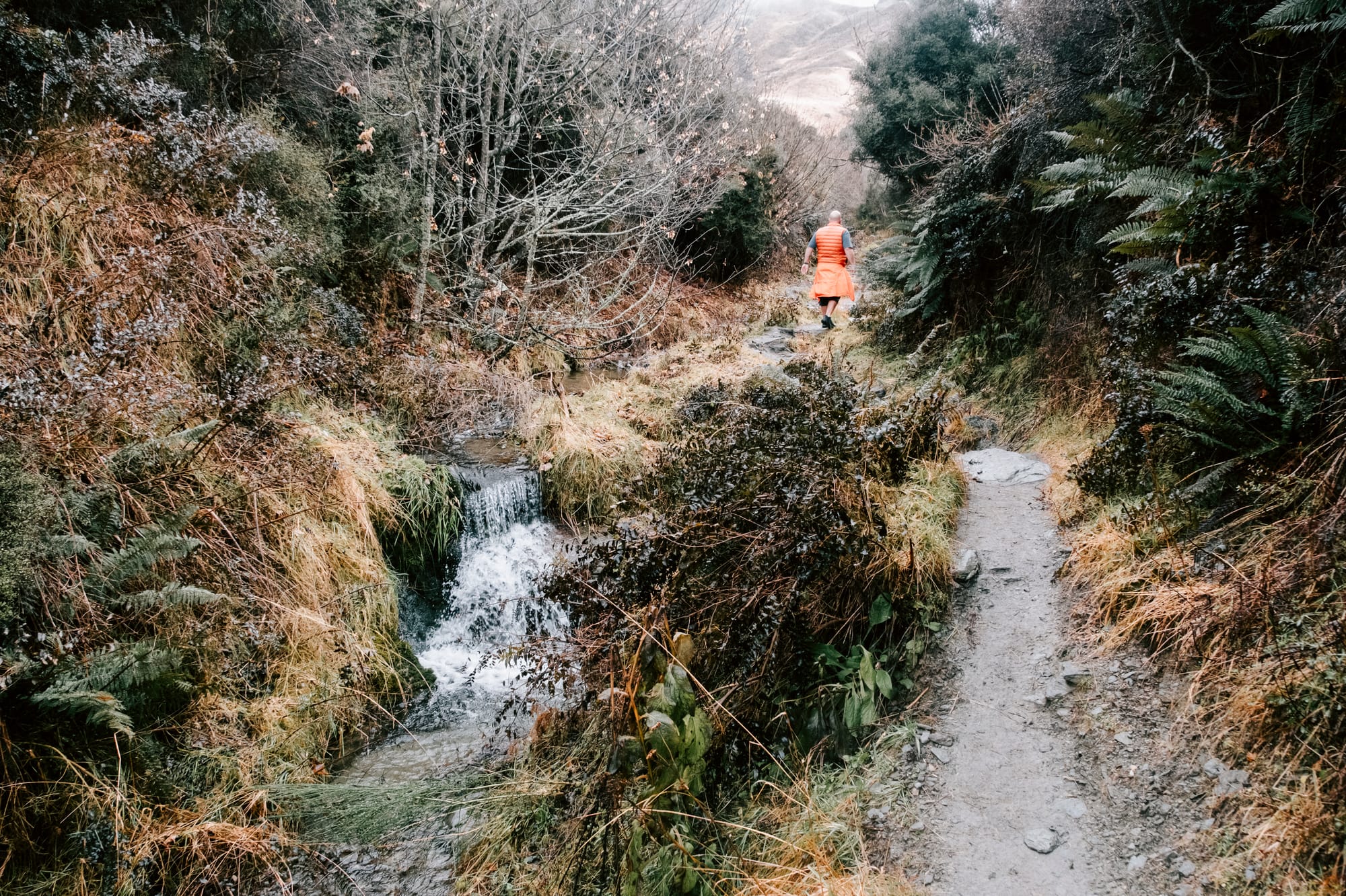
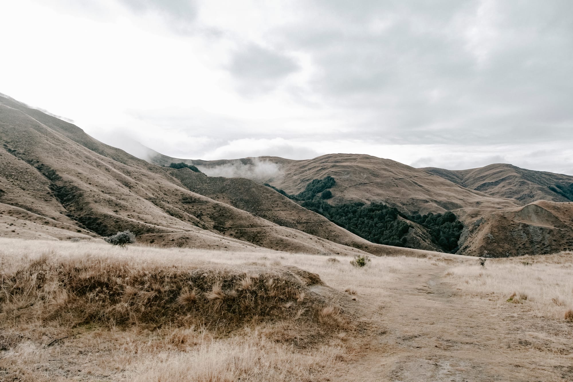
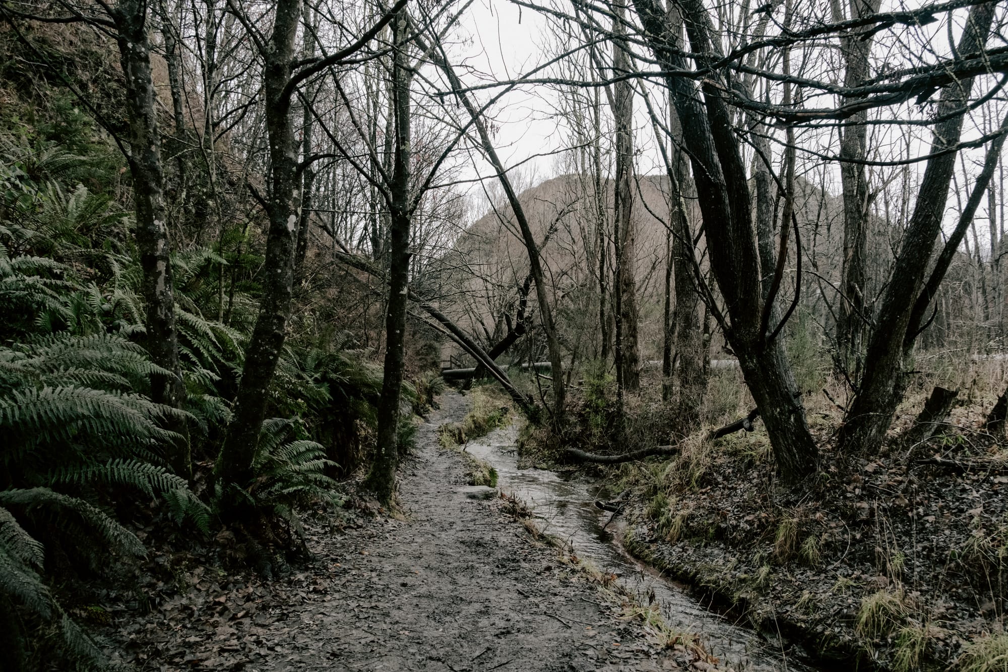
the walk begins at butler's green in arrowtown, and follows the arrow irrigation pipeline along the river. recent rain made the track muddy and a little slippery underfoot, but being out in the fresh air, with decent walking shoes on, meant we didn't really care all that much.
the arrowtown river trail
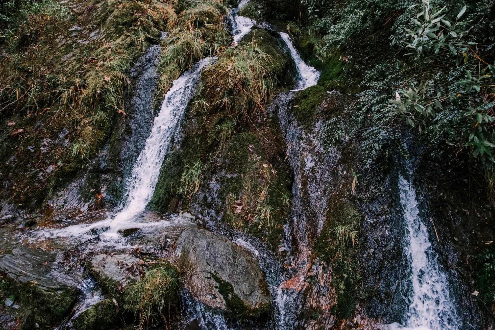
we come across a pretty little waterfall cascading down from sawpit gully to the arrow river, burbling pleasantly at us on the way past. and i turned around a few times, looking back the way we came, enjoying the views down the river and to the hills beyond.
not long past the waterfall, we arrived at the junction where the sawpit gully track begins. with both of us feeling pretty good, we decided we'd follow it, as this was the track i was hoping we'd do during this visit.
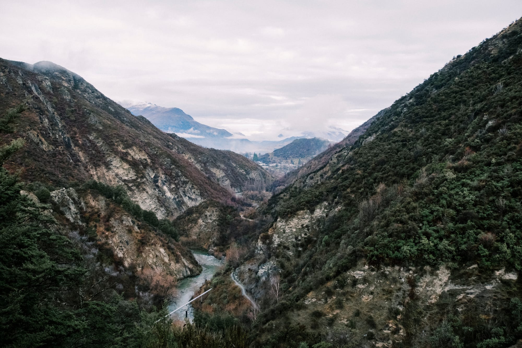
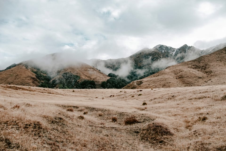
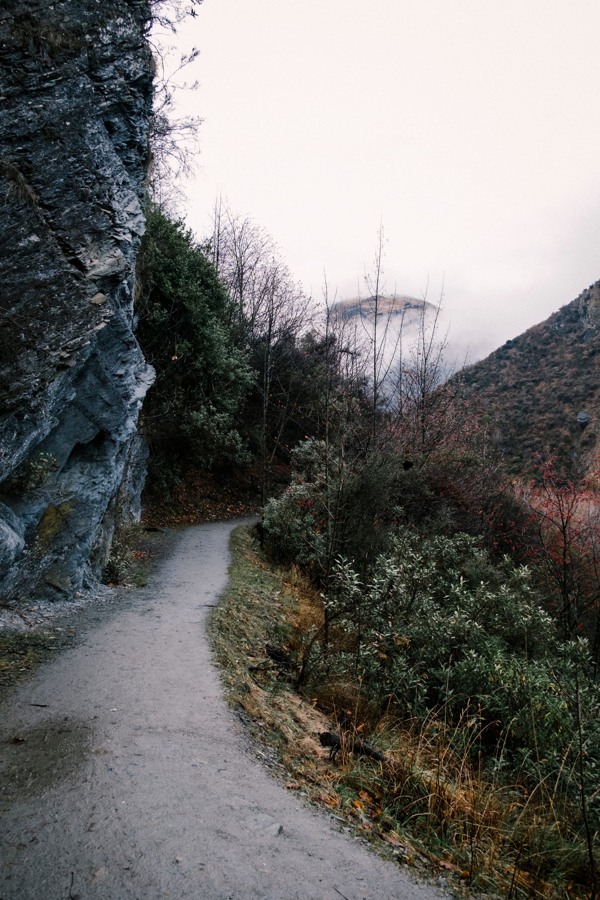
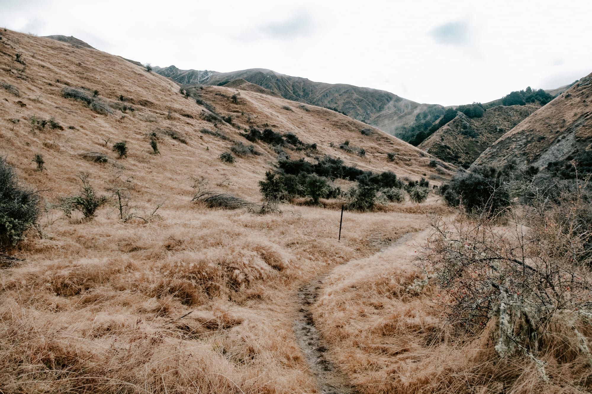
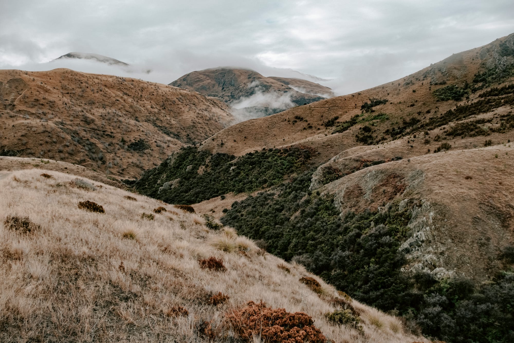
the trail gets narrower, and steeper, from here and i'm breathing pretty heavily as we continue our ascent. the stunning 360º views are worth the effort though and i'm enjoying every minute of the climb, even if my lungs are not.
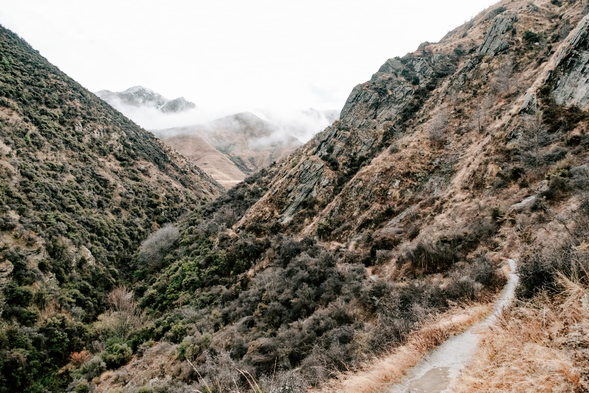
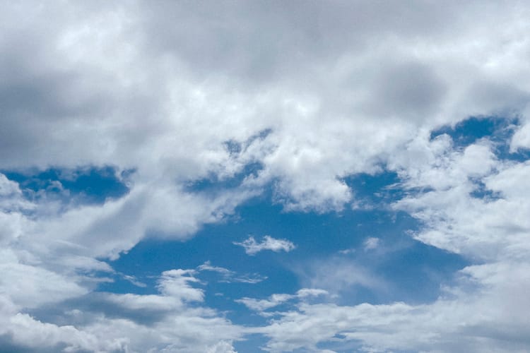
we follow the narrow trail on the right-hand side above the gully, and can hear the water murmuring below us, even though we can't see it yet. the views are magnificent, and the clouds moving slowly over the hills in the distance adds to the magic of the morning.
my new trail running shoes are covered in mud, as are my lower legs, i'm stripped down to my base merino and couldn't be happier. i'm in my element here and feel absolute joy flowing through my veins.
the trail finally meets the stream and we wander along it, rock hopping back and forth across it for a while before climbing up final hill beyond the gully.
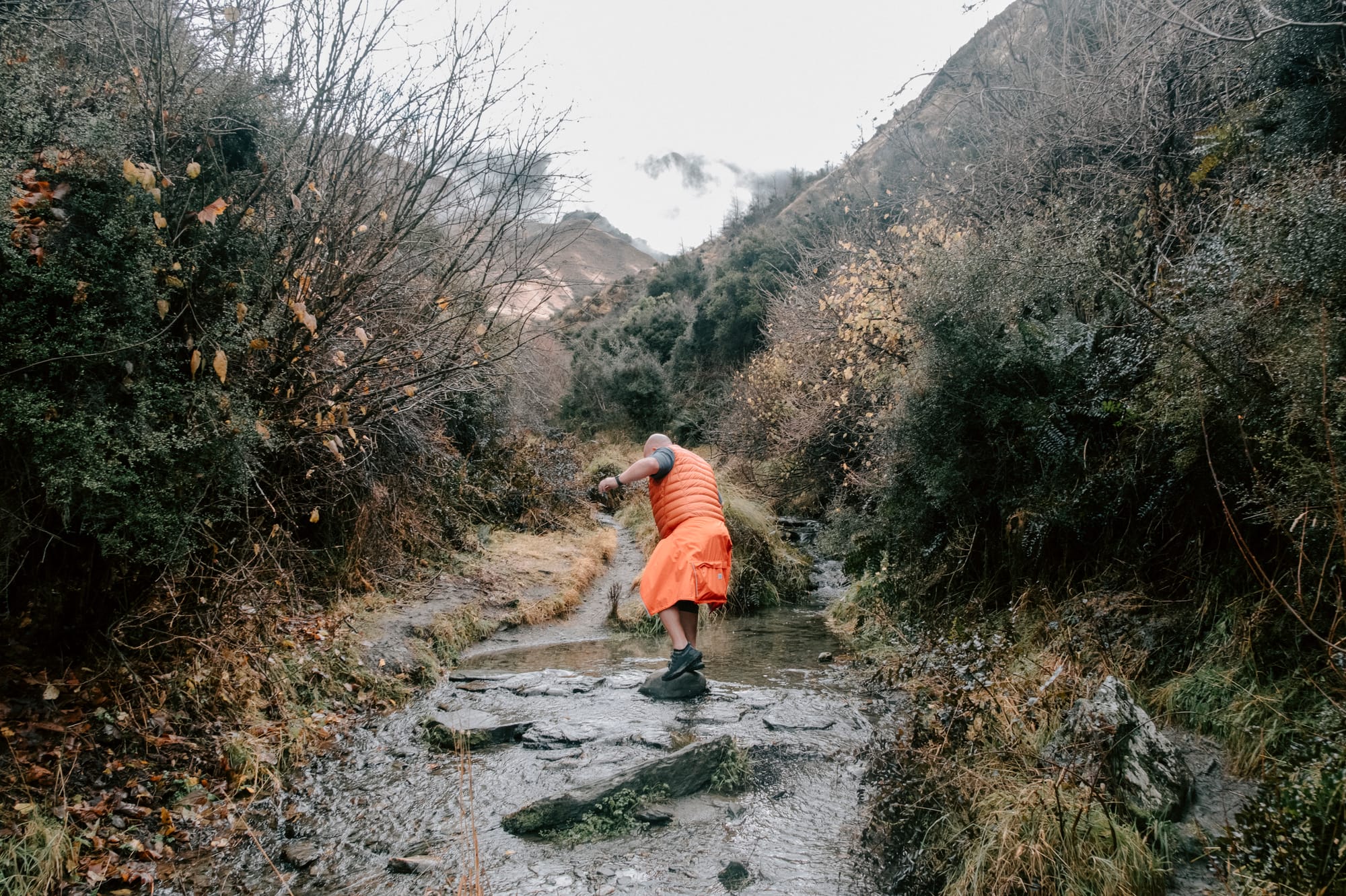
leaving the stream, we have one final hill to ascend and nic comments that we're likely not far from the junction where we head back down into arrowtown. he's absolutely right and we spot the signage as we near the top. it's here that we meet the first people we've seen on the track. everyone is walking the other way and we wonder, aloud, if there's a particular reason why.

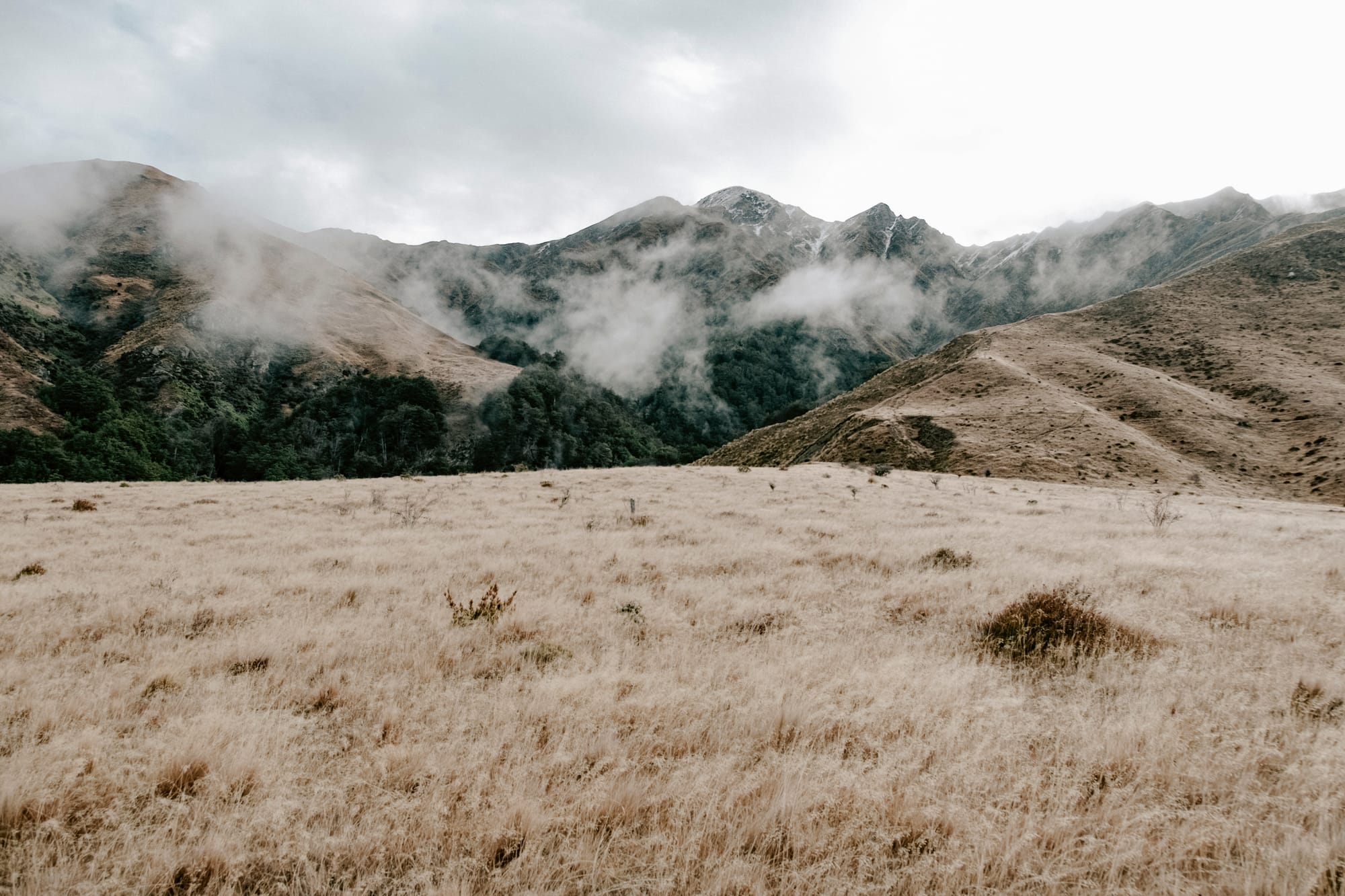
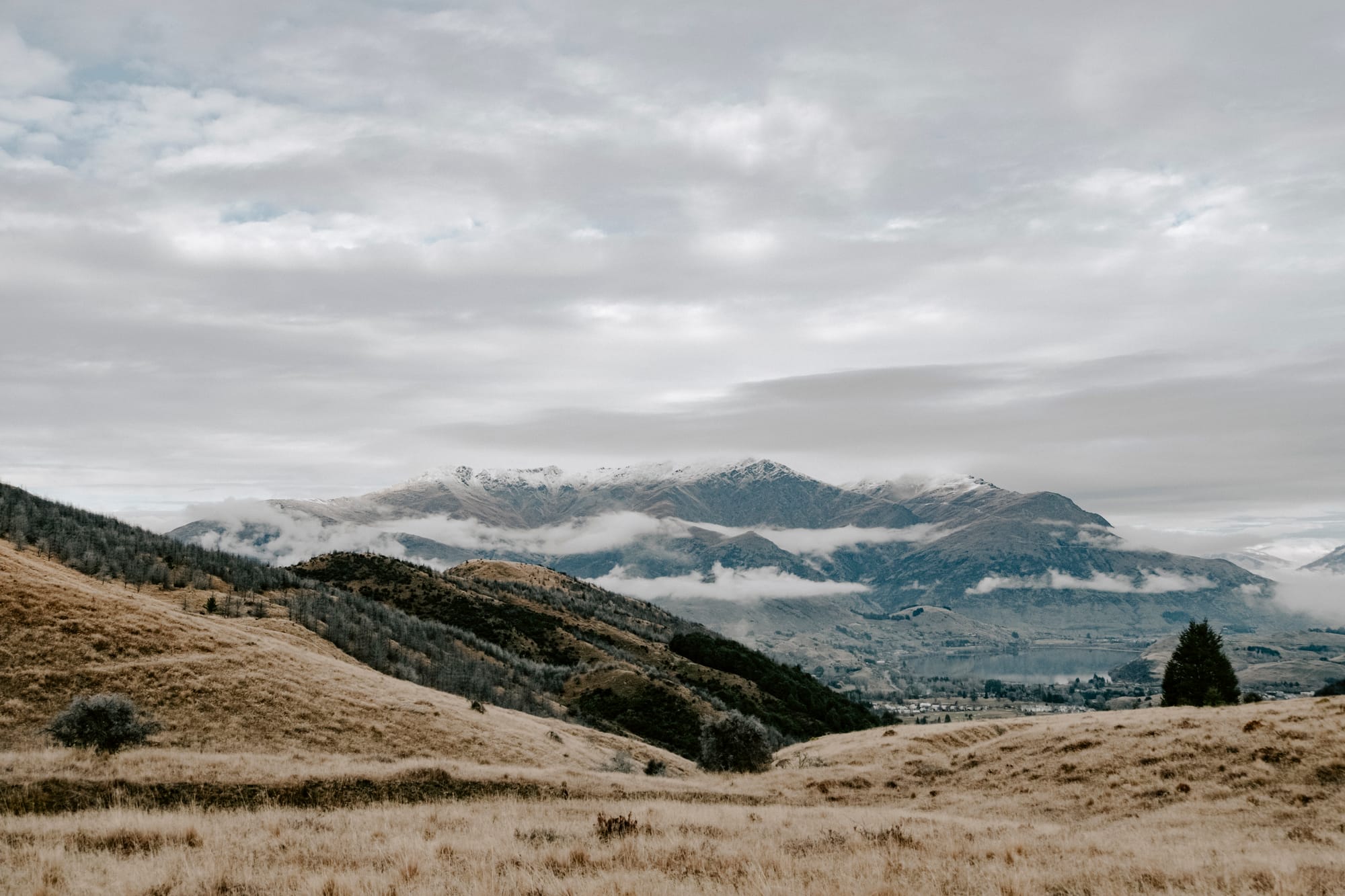
how could you not be completely astonished at these views? 360º of hilly delight.
i mean, look!
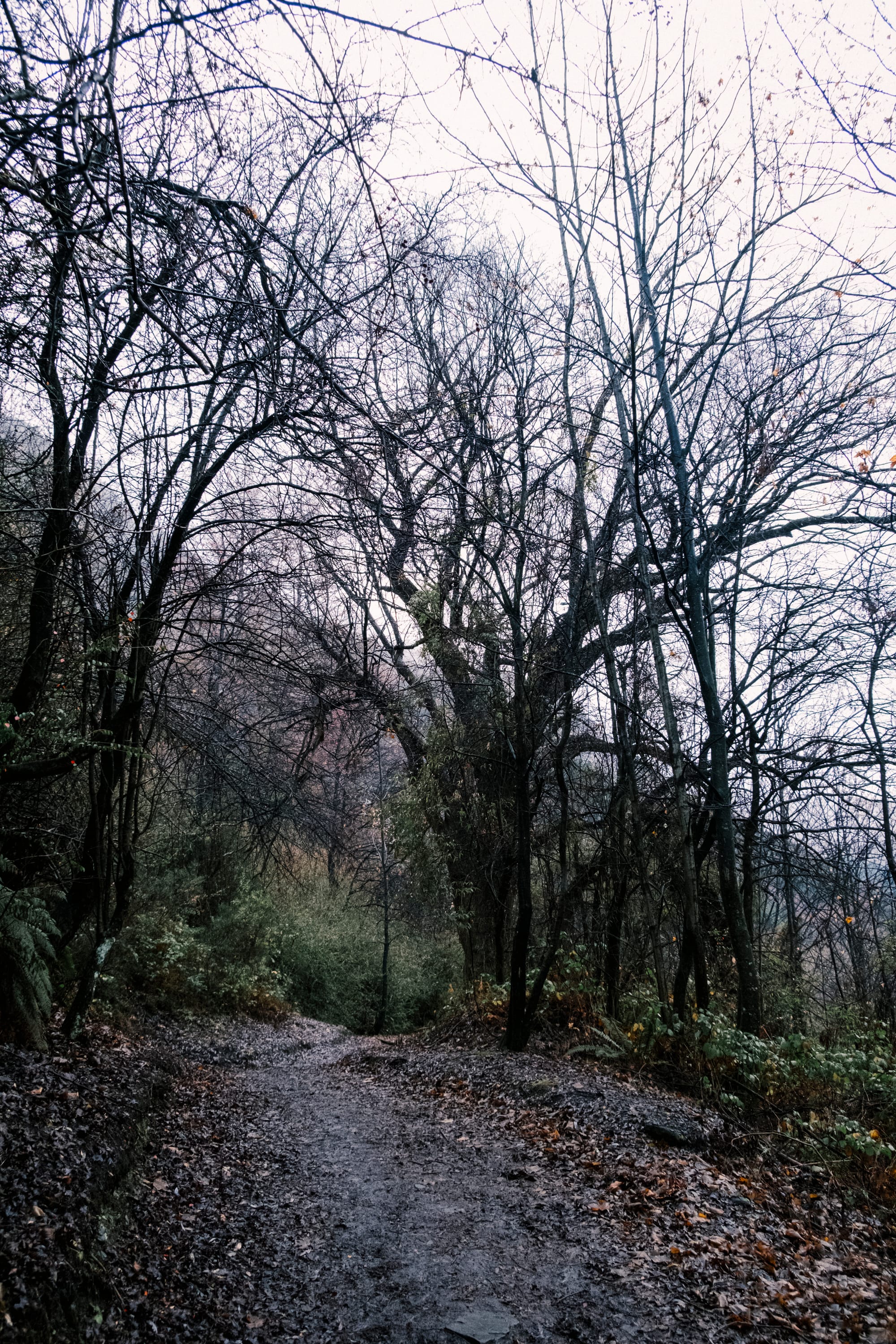
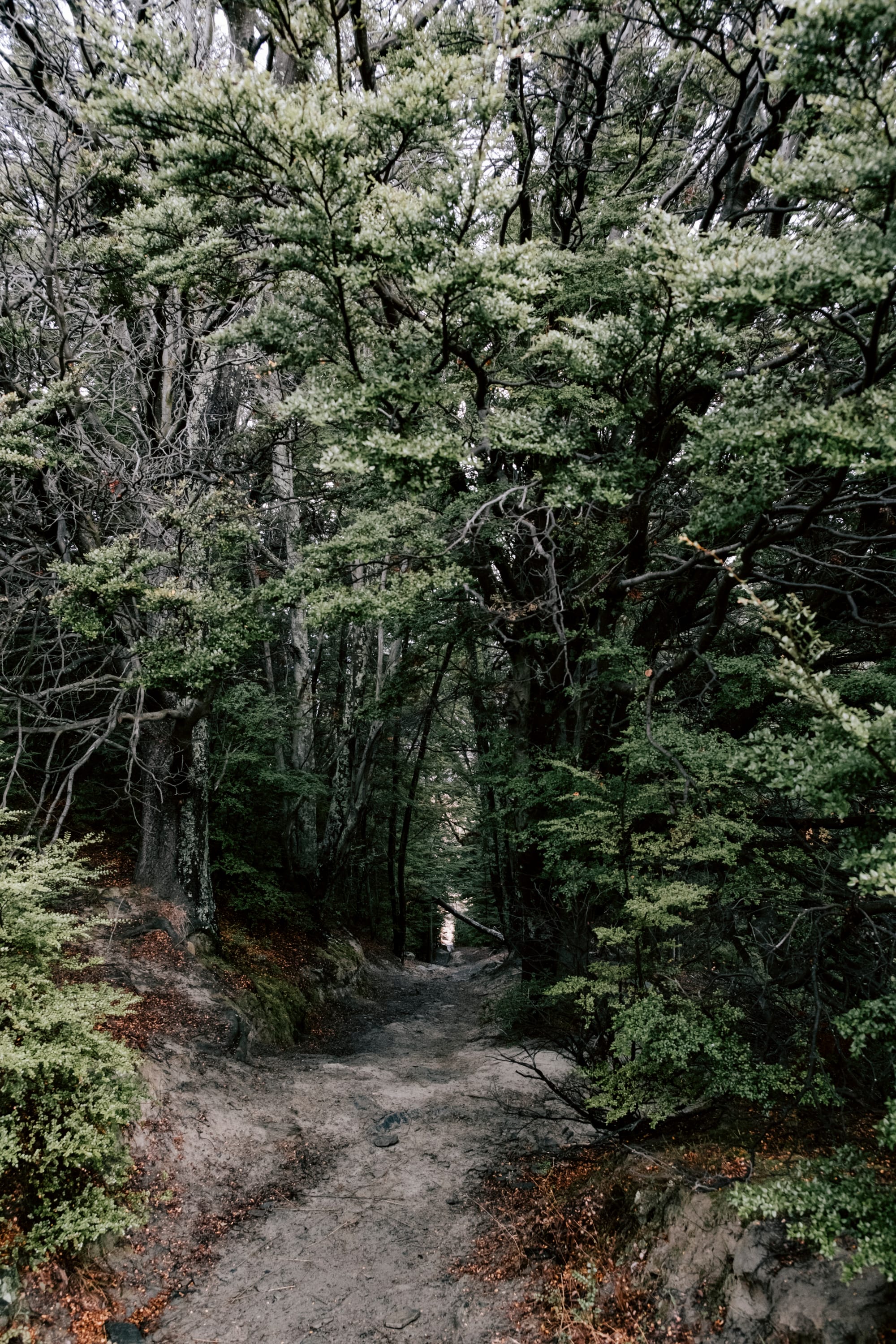
once we make the descent, we're happy with our accidental choice of walking this trail anti-clockwise. it's a steep and muddy (though thankfully not slippery) descent back down to the starting point.
we also got to enjoy the incredible views up the gully and the hills beyond as we climbed and a stunning view down towards arrowtown and lake hayes on the way down.
back at the beginning—on a friend's recommendation—we make a beeline for the dishery. we both order a pot of warming tea and share an incredibly delicious plate of twice-cooked potatoes. hot drinks, carbohydrates and fat—the perfect coda to a great morning walk.
it's graded as medium / moderate and i'd say that's about right. it's one of those tracks where you definitely want to make sure you have a sturdy pair of walking shoes/boots on and you're confident walking a narrow track with some steep drops, muddy sections and stream crossings.
- Distance: 7.9 km loop
- Duration: 2-3 hours
- Difficulty: Moderate
- Best time of year to go: Good all year but wear warm gear in winter and be prepared for rain / cloud and cold areas in the shade. Pack water and snacks and make sure you have appropriate footwear.
- Location: Butler’s Green, Arrowtown
- Start / finish point: The carpark near the Chinese Settlement in Arrowtown

Member discussion