postcards from the mangawhai heads clifftop walk

We check the tide timetable and the weather forecast and decide to make an early start to catch the low tide. Tide is a factor on this walk because at the northernmost point there’s an archway that you can only get through when the tide is low.
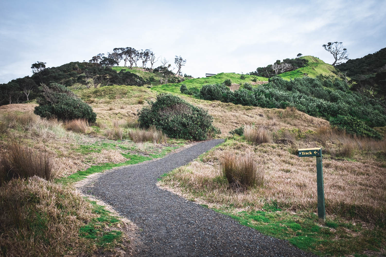
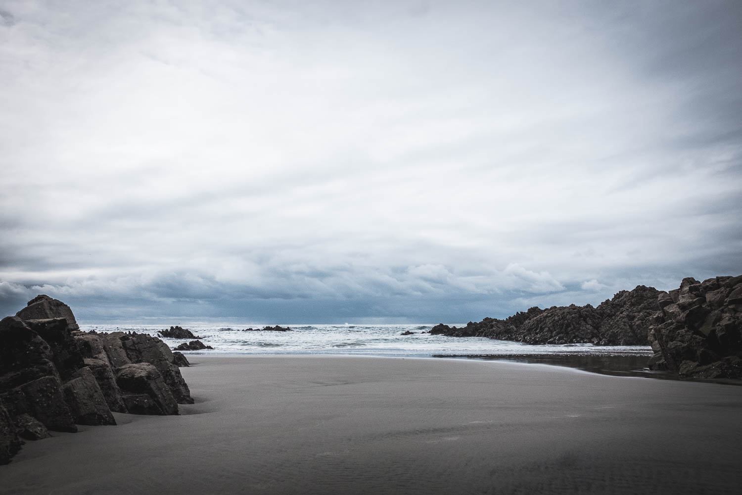
We’re up and breakfasted and off by 8am. Heading down onto the sand, we walk for about 1km north along the beach to the sign where the clifftop path begins. At this point we can either head up to the top of the cliffs and then return via the beach, or continue along the beach and return via the clifftop path. We choose the cliffs first and return via the beaches.
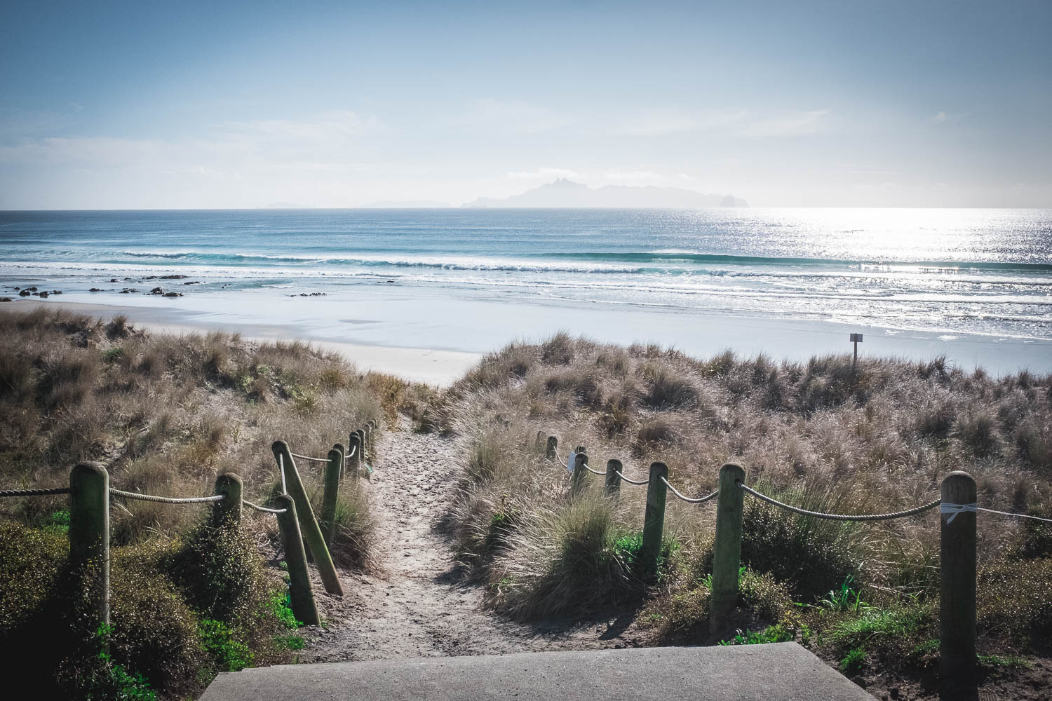
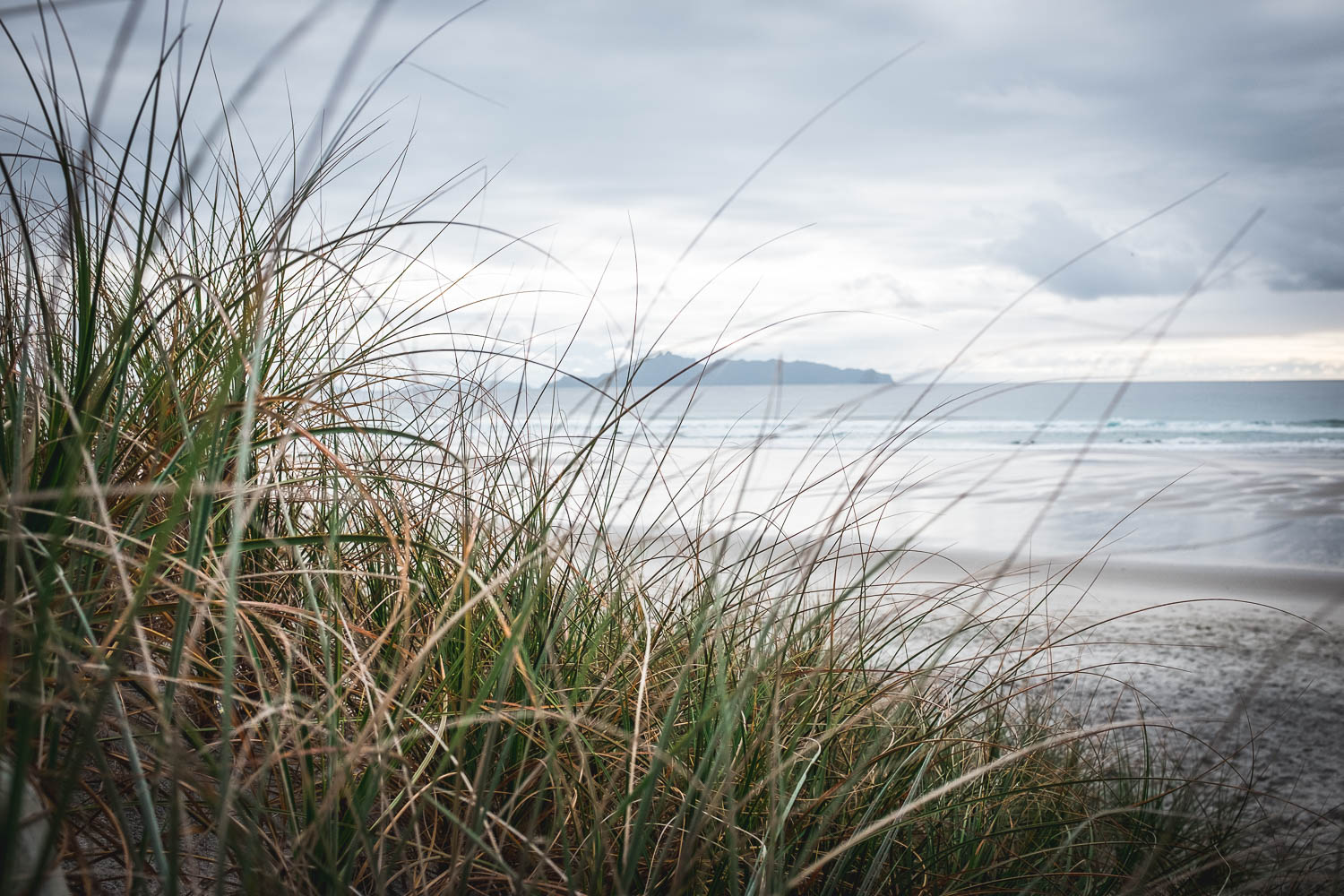
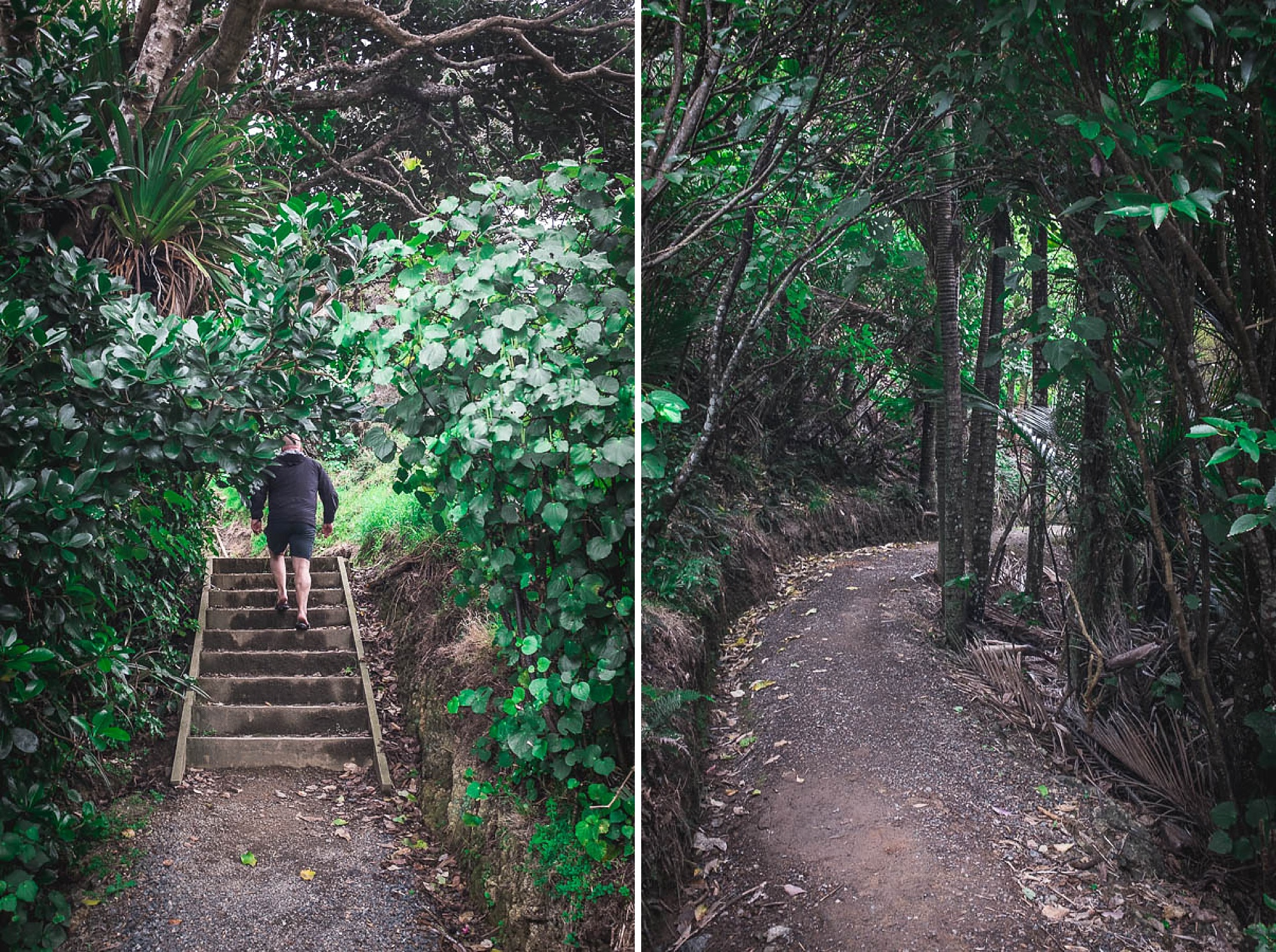
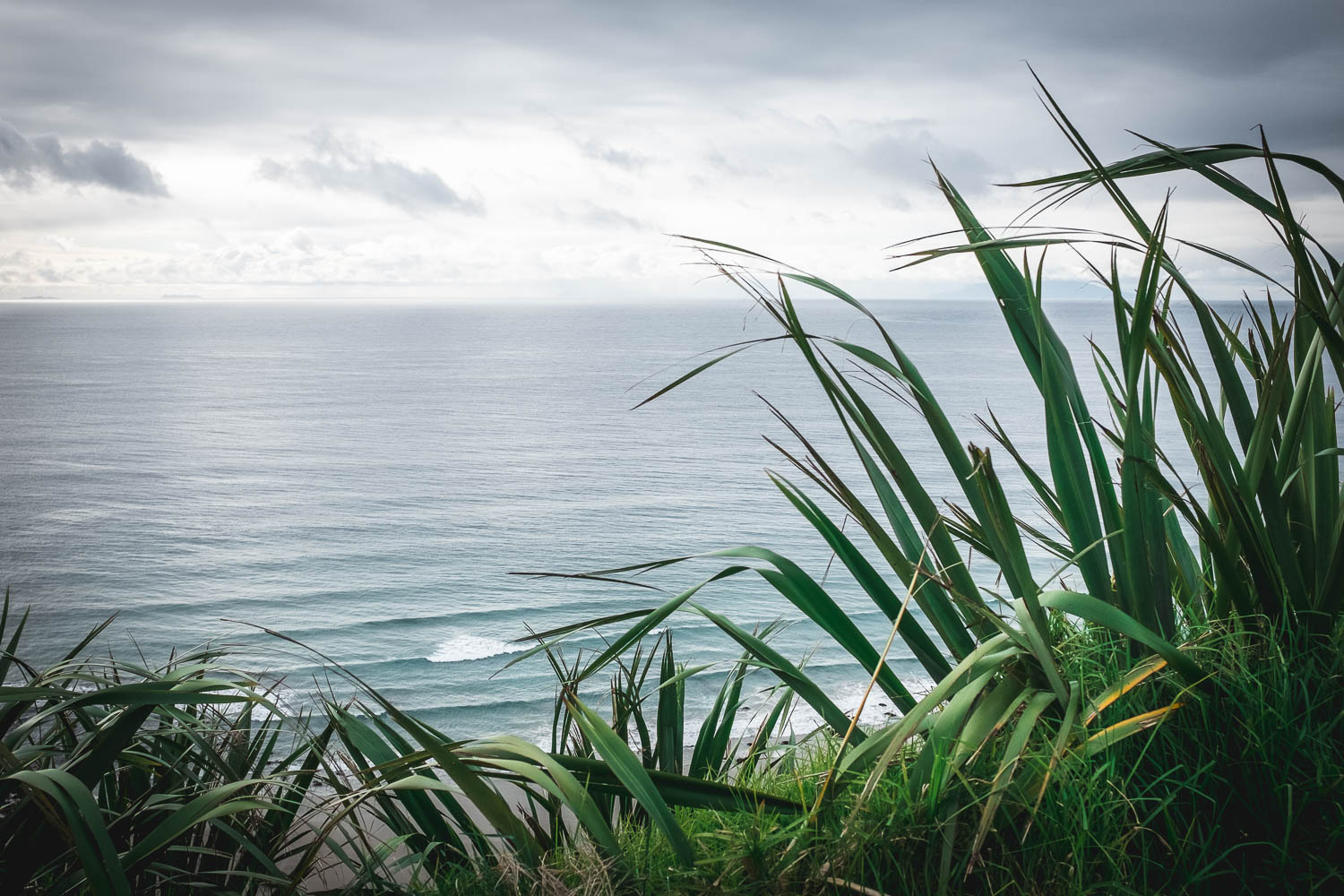
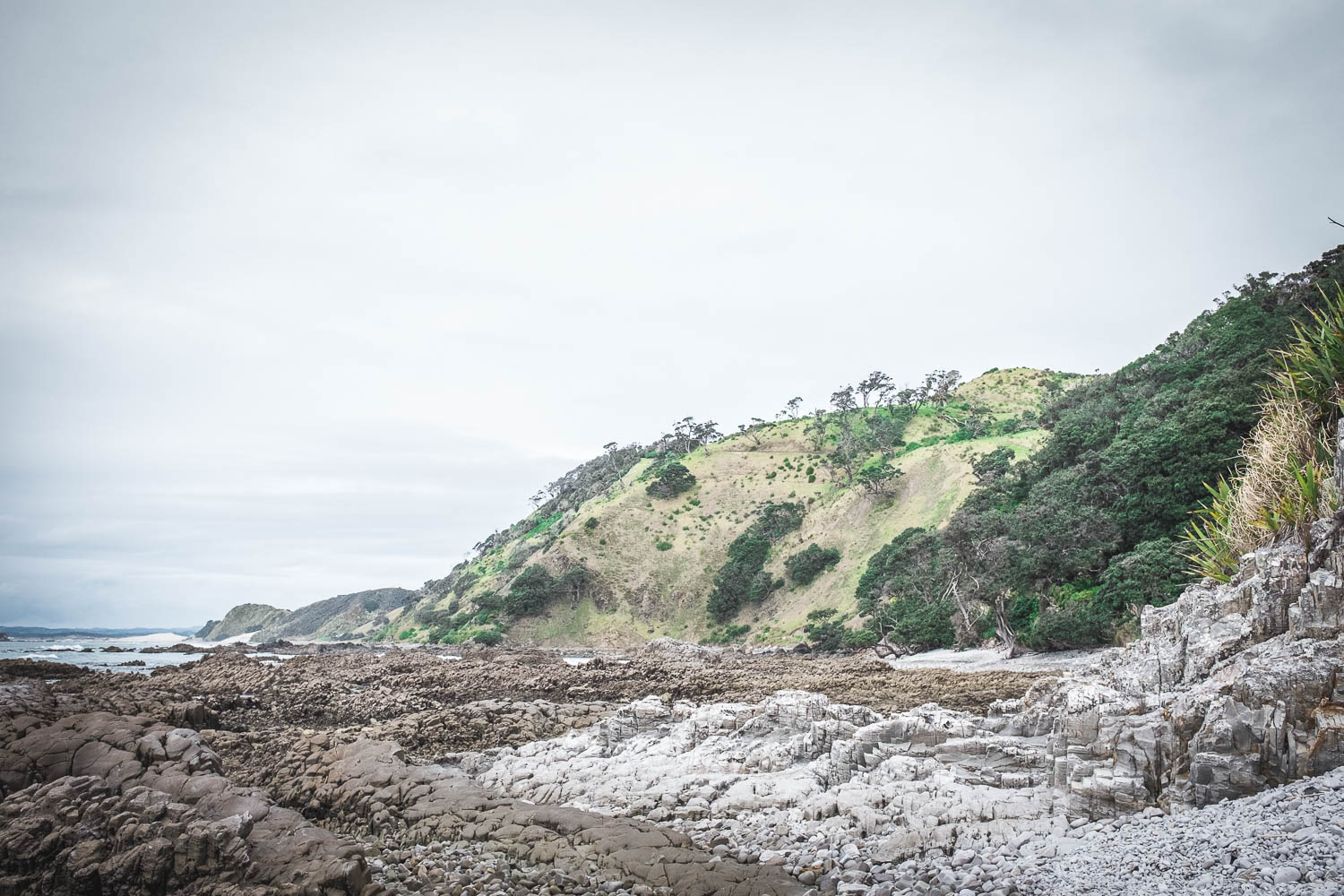
We climb for around 10 minutes and stop to enjoy the view back along the beach, before following the pathway that wanders along the headland. It’s a moody kind of a day but we have spectacular views in every direction.


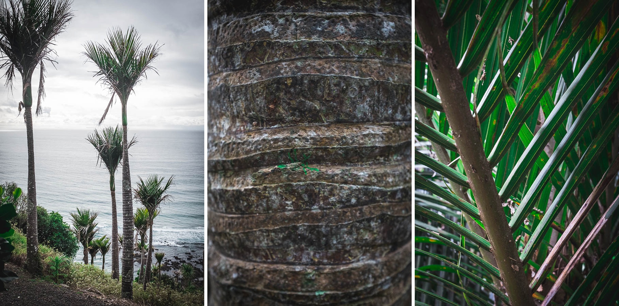
Our final descent back down to beach level is via a stunning grove of nīkau palms. I stop to make a cairn before we wander through the rock arch and head back along the beach.
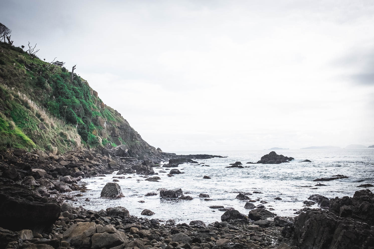


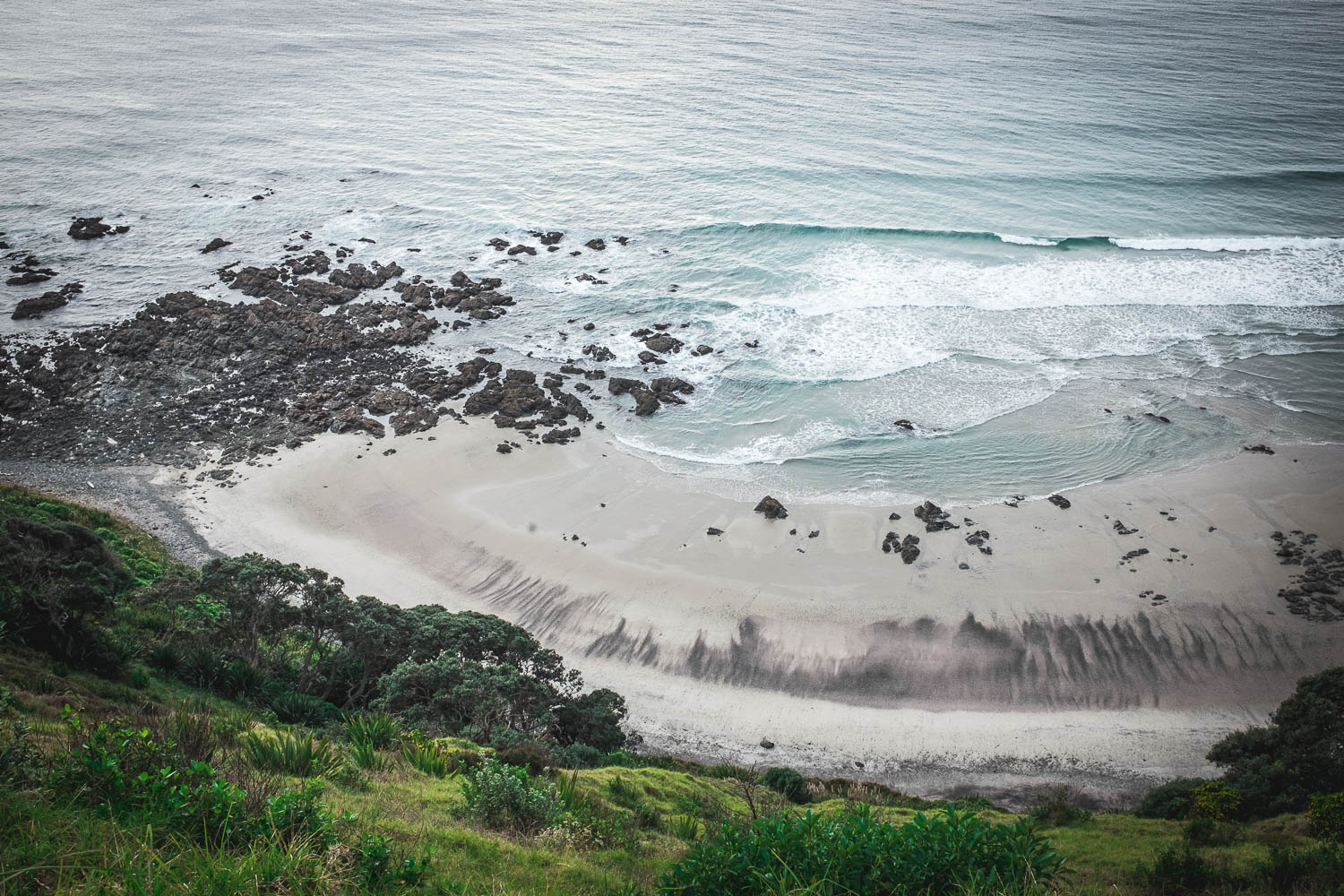
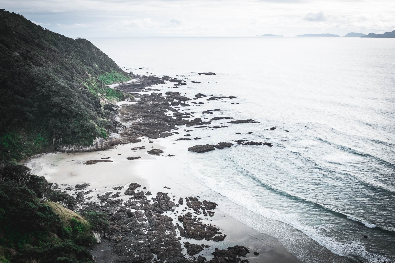
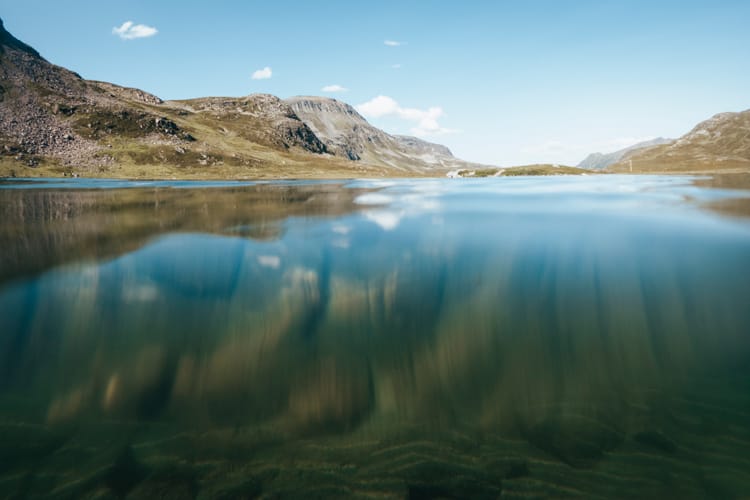
I love clambering around the rocks that connect all these little bays. Every single one is slightly different, making each one a fun discovery. If it was warmer, I’d be in for a swim, but not today – the water is really cold!

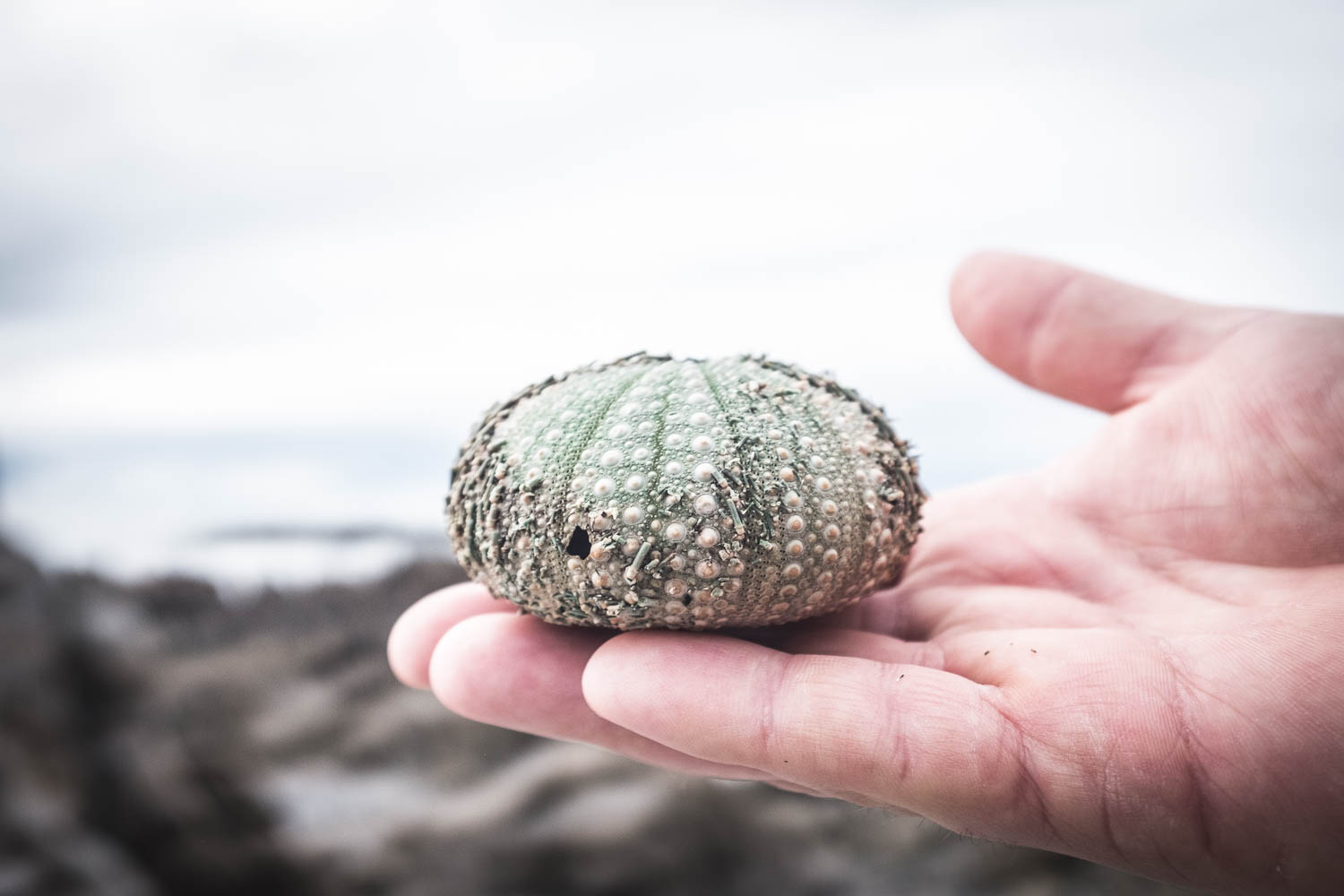
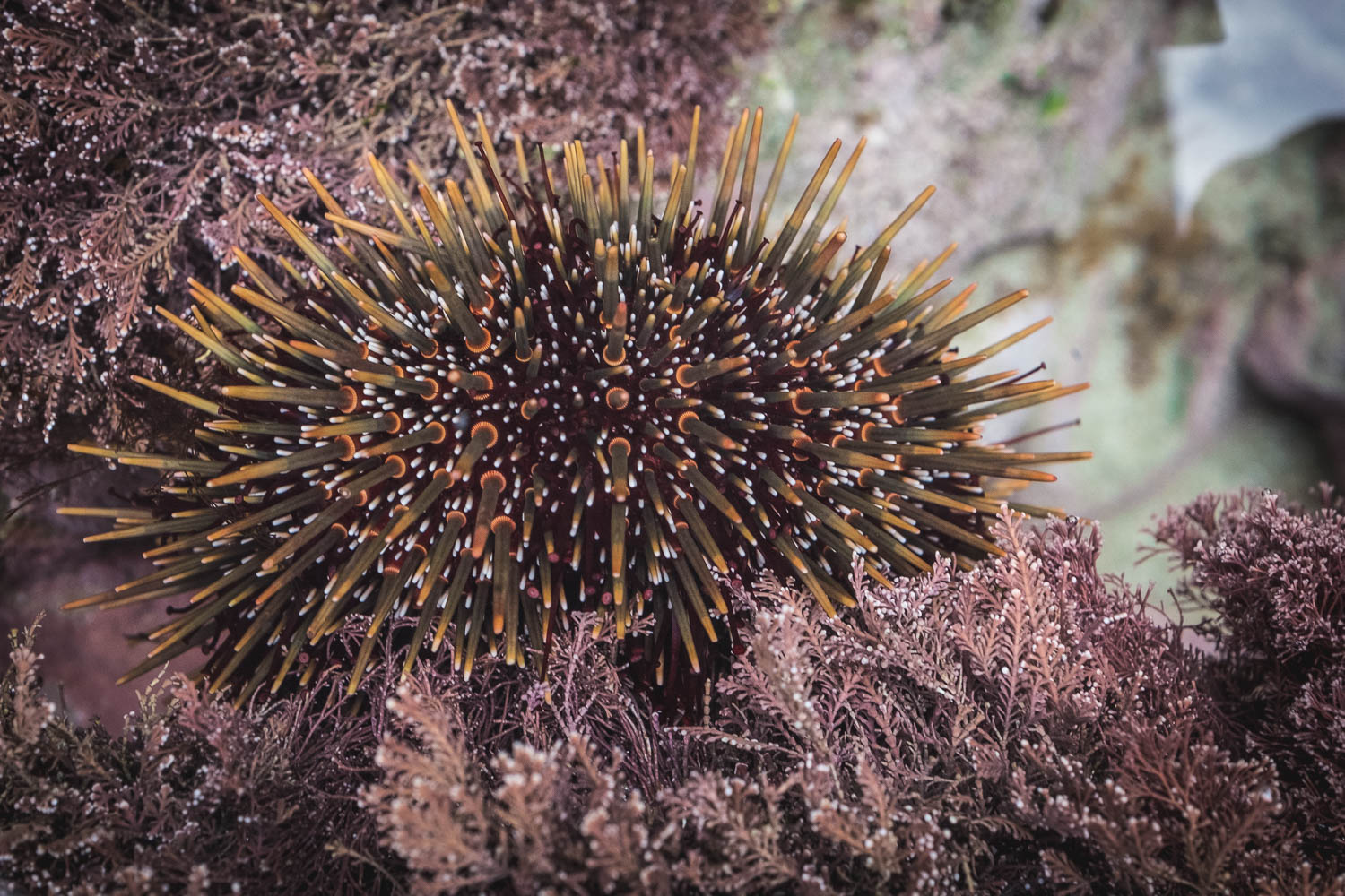
Nic spies a rock pool on the way back filled with crabs and kina (sea urchins). We leave them in peace hoping the gulls don’t find them. Even with all those spines, the birds have clever ways of getting in.
+++
know before you go
- The walk starts at Mangawhai Heads Beach near the Surf Life Saving Club. There is parking and toilets but no shops, so make sure you’ve eaten and you’re adequately hydrated before you start.
- If you want to do the loop, you need to do it in the hours around the low tide or you can’t get through the rock arch.
- All the signs say 5km, but Nic’s watch told us that the round trip to/from the carpark was 8km and the DOC website says 9km.
- Listed as one of New Zealand’s best short walks and part of the national Te Araroa Trail, this walk takes you along the cliff tops north of Mangawhai Heads beach.
- Before heading off on any walk in New Zealand, even a short one like this, make sure you check the weather and the DOC (Department of Conservation) website for any updates on the track, the weather, or any other important info.
getting there
Mangawhai is located on the Twin Coast Discovery Highway around 90 minutes drive from Auckland and 50 minutes south of Whangarei. Park at the Mangawhai Surf Life Saving Club car park – the track is signposted from there. The loop can be walked in either direction.

Member discussion